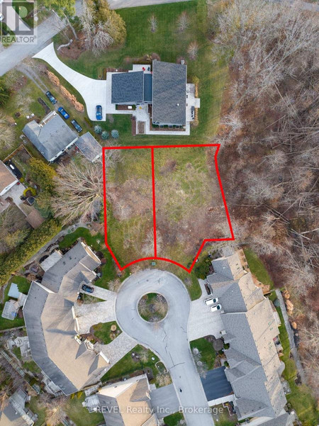
Lot 10 Concession 1, Chapleau
- Type: Lots and Land
- Added: 13 days ago
- Updated: 13 days ago
- Last Checked: 12 hours ago
Waterfront Acreage! So many possibilities for this property in unorganized township! This approx 124 acres of undeveloped land is accessible partially by road and has access to power. Build your dream home just a short drive from Chapleau, ON. Call today for more information. The map included in the listing is not a true representation of property listed. Buyer to confirm measurements and boundaries. (id:1945)
Exterior & Lot FeaturesLearn about the exterior and lot specifics of Lot 10 Concession 1
- View: View
- Water Source: None
- Lot Size Units: acres
- Water Body Name: Mulligan's Bay
- Lot Size Dimensions: 124
- Waterfront Features: Waterfront
Utilities & SystemsReview utilities and system installations
- Sewer: No sewage system
- Utilities: Electricity, Cable, Telephone
Tax & Legal InformationGet tax and legal details applicable to Lot 10 Concession 1
- Parcel Number: 730990170;730990169;730990169;730990167
- Tax Annual Amount: 187.5

This listing content provided by REALTOR.ca
has
been licensed by REALTOR®
members of The Canadian Real Estate Association
members of The Canadian Real Estate Association
Nearby Listings Stat
Active listings
1
Min Price
$749,900
Max Price
$749,900
Avg Price
$749,900
Days on Market
13 days
Sold listings
0
Min Sold Price
$0
Max Sold Price
$0
Avg Sold Price
$0
Days until Sold
days


